


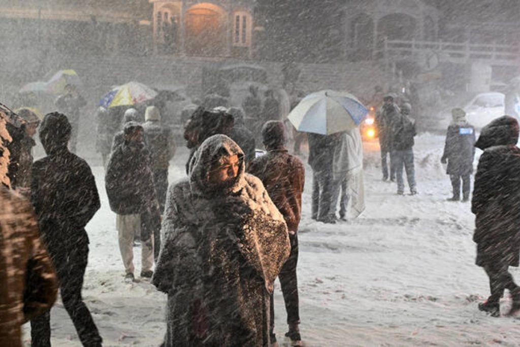
Light to moderate rain along with snowfall over the hills is expected in several parts of Pakistan from January 31 to February 3, with occasional breaks.
Synoptic Situation:
The Pakistan Meteorological Department (PMD) reports that a shallow westerly wave is likely to approach the western and northern regions of the country on Friday, January 30 evening. This weather system is expected to persist until February 3.
Forecast:
Under the influence of this system, cloudy weather with light to moderate rain and snowfall is expected in Gilgit-Baltistan, including Diamir, Astore, Ghizer, Skardu, Hunza, Gilgit, Guanche, and Shigar, as well as in Kashmir covering Neelum Valley, Muzaffarabad, Poonch, Hattian, Bagh, Haveli, Sudhnuti, Kotli, Bhimber, and Mirpur from January 31 to February 3, with occasional breaks.
Rain with snowfall is also forecast for Khyber Pakhtunkhwa in areas such as Chitral, Dir, Swat, Kalam, Shangla, Kohistan, Bunner, Battagram, Mansehra, Abbottabad, Haripur, Mardan, Peshawar, Kohat, Kurram, and Waziristan.
Light rain is expected in Islamabad, the Potohar region, Sialkot, Narowal, Gujrat, and Gujranwala, while Murree and Galiyat may receive light rain with snowfall.
Northern Balochistan, including Quetta, Ziarat, Zhob, Chaman, Pishin, Qilla Abdullah, Qilla Saifullah, Noushki, and Harnai, is likely to experience light to moderate rain with snowfall from January 31 to February 1.
Impacts:
Snowfall may create slippery conditions in Naran, Kaghan, Dir, Swat, Kalam, Chitral, Kohistan, Mansehra, Shangla, Astore, Hunza, Skardu, Neelum Valley, Muzaffarabad, Poonch, Hattian, Bagh, Haveli, as well as in Quetta, Ziarat, Chaman, Pishin, Qilla Abdullah, Qilla Saifullah, Noushki, Harnai, and Zhob.
There is a risk of landslides and avalanches in the hilly areas of upper Khyber Pakhtunkhwa, Gilgit-Baltistan, and Kashmir. Tourists are advised to exercise caution and avoid unnecessary travel during this period. Daytime temperatures are also expected to drop.